A Travel Log of KorÄŤula: From Old Town to National Parks

One more Croatian Island to go. After leaving Hvar, we moved on to KorÄŤula, another unique Croatian town and Island. I felt like I had walked into the movie set for The Lord of the Rings. True towers, a drawbridge, battles from the ramparts, pirates, and more.

Compared to Hvar and several other places I visited, Korcula was quiet. There were tourists there, but not in the numbers I had seen in many of the other parts of Croatia.

KorÄŤula has been inhabited since prehistoric times, as evidenced by Stone Age finds from Vela Spila near Vela Luka, now part of the Vela Luka Culture Center’s collection. In the 4th century BC, the Greeks founded a colony on KorÄŤula and called it Korkyra Melaina or Black KorÄŤula. Under their rule, the island was called Korkyra Nigra. The attribute “Melaina” or “Nigra” this beautiful island owes precisely to the lush Mediterranean vegetation, primarily forests of holm oak and pine.

The island of Korčula is almost completely connected to Pelješac by the Pelješac canal. The town of Korčula is among the most beautiful and best preserved medieval towns on the Croatian coast and in all of the Mediterranean, and is justly referred to as “Little Dubrovnik.” It still has the appearance it had at the turn of the 16th century – the same stone towers, walls, and the same fishbone structure of the streets.

Korčula’s town planners took into consideration both functionality and perfect harmony with nature – the streets are lined so that the refreshing wind from the west can pass, while the cold winter winds from the northeast (called bura) are blocked.

We started our exploration of Korcula with a walking tour of the “Old Town”. Old town, of course, means within the fortress walls. Our guide was very informative. The creation of this town was planned well.

The steps are a later creation. There used to be a drawbridge where the steps are today. If the enemy came, they drew up the bridge. If you enlarge the photo by clicking on it, you can see the holes in the tower where the ropes were for the drawbridge.

The streets of KorÄŤula’s Old Town are designed in a brilliant geometric herringbone pattern. Built in the Middle Ages by the Venetians, this layout acts like natural air conditioning, controlling the wind and the sun to keep the town comfortable.

How the Herringbone Design Works

  • Central Spine: A single main street divides the old town, running straight along the top of the island’s ridge.
  • Western Streets: The streets on the town’s western side are laid out in straight lines. This lets the refreshing summer breeze, called the maestral, blow straight through the town and cool the houses. 
  • Eastern Streets: The streets on the eastern side are slightly curved. This curve blocks the fierce, cold winter winds, known as the bura, from rushing through the city and freezing the homes. 

Other unique features of this town are included below.

Hidden Plumbing: The houses are built in long, parallel blocks. The fronts of the houses face the streets, while the backyards and wastewater canals were cleverly hidden in the middle of the blocks.

Narrow and Shaded: The side alleys are incredibly narrow. This provides deep shade during the hot summer months, ensuring the sun never hits the ground directly. 

Stepped Alleys: Because the town sits on a small hill, almost all the side streets use steps to help you climb up and down easily. 

Arches Across the Alleys: You owned a small home. If you wanted to expand and acquired the home across the street, an arch was built to connect the kitchens.

The Kitchens & Bathrooms: To prevent fires, the kitchens were on the top floor. The bathrooms were on the first floor.

The Street of Thoughts: There is one notable street running along the southeastern wall, without any steps. Local history says it was called the “Street of Thoughts” because walkers did not have to stare at their feet to watch for stairs.

Korcula Old Town, Within the Walls

Unique in its design, the system still had some flaws. The town was once home to close to 1,000 residents. They lived there for protection and community. Today, approximately 300 live within the city walls. Why? Look how narrow the streets are. No cars can come into these streets. That means you have to carry everything in and out of the walled city. There are steps everywhere; only one street has no steps.

While we were exploring the old city, we climbed the bell tower at the Korcula Cathedral. The stairs were not for the weak of heart. The view from the top was breathtaking. I hoped the bells did not ring while I was up there.

Climbing the Cathedral Tower.

One evening we went to the west side of the walled city to have dinner and see the sunset. People seem to do that a lot here. It was not disappointing.

Sunset View

On the second full day, we took the ferry, a 35-minute ride, to the island of Mljet. One of Croatia’s National Parks is on the island. With a bit of trepidation, along with Mary, I rented an E-bike to bike the park. After a few practice runs up and down the main street, I was ready to go.

Mljet National Park is a large area that borders two saltwater lakes. The Lakes stretch for about 4 kilometers. Right in the middle of the Large Lake, there is a small island/islet, Melita (Sveta Marija), with a large building of the former Benedictine monastery, erected there in the 12th century. The monastery’s building is now a cafĂ©/restaurant. The small island is connected by boats that sail there from both sides of the Lake.

Miljet National Park.

The Benedictine Monastery is now a restaurant. You flag them from the mainland, and they send a boat over to pick you up. It was early, so we pushed on.

There was a small steep bridge we needed to cross with our bikes. Up, Up. Down, Down. Have I told you how heavy E-bikes are? Our very own angels showed up. They easily lifted the bikes up and down while Zee and I followed behind.

The bridge is fairly new. At one point, Tito moved to the island with the Monastery. He tore down the original bridge to gain full access to the ocean and bring in supplies. After he left, the new bridge was built.

The National Park was cool, quiet, and unhurried. It took us about 3 hours to bike the park. I enjoyed stopping and looking at all the Butterflies on the thistle and lavender.

Upon our return to the ferry port, we found a cool place in the shade, met this lovely woman from Switzerland, and chatted until the ferry returned us to Korcula.

Today we say farewell to the islands and return to the mainland. Back to the big city, Dubrovnik. Well, not quite the big city, as Dubrovnik has approximately 40,000 residents. I am not quite done exploring yet. We have two full days to explore before returning to Istanbul and the flight stateside. Oh, what a trip it has been.

Travel-log Continues: The Mediterranean Adventure

Moving on is what one does on a tour. It amazes me that I used to lead these. It is much better to be a passenger and look out the window.

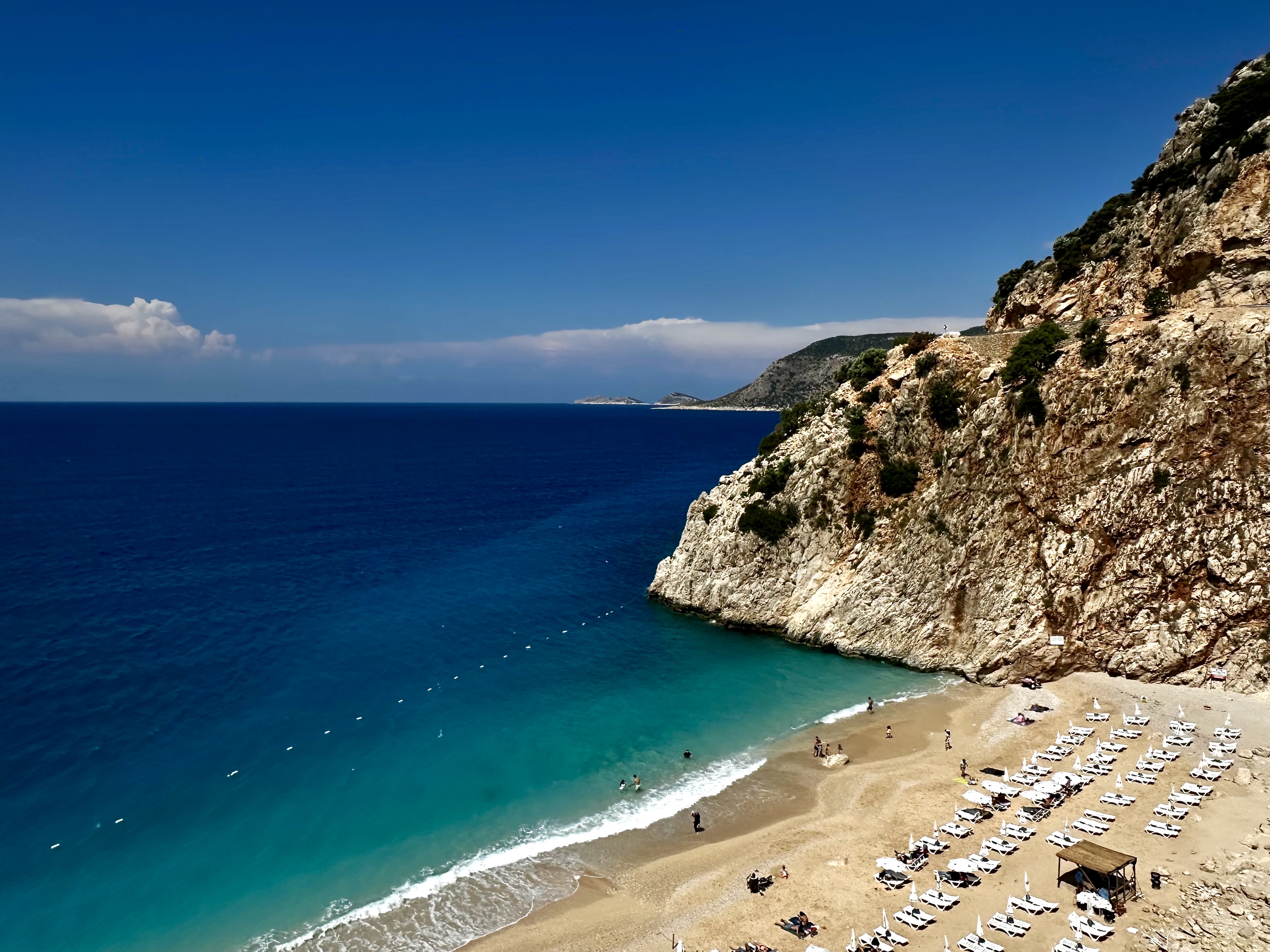
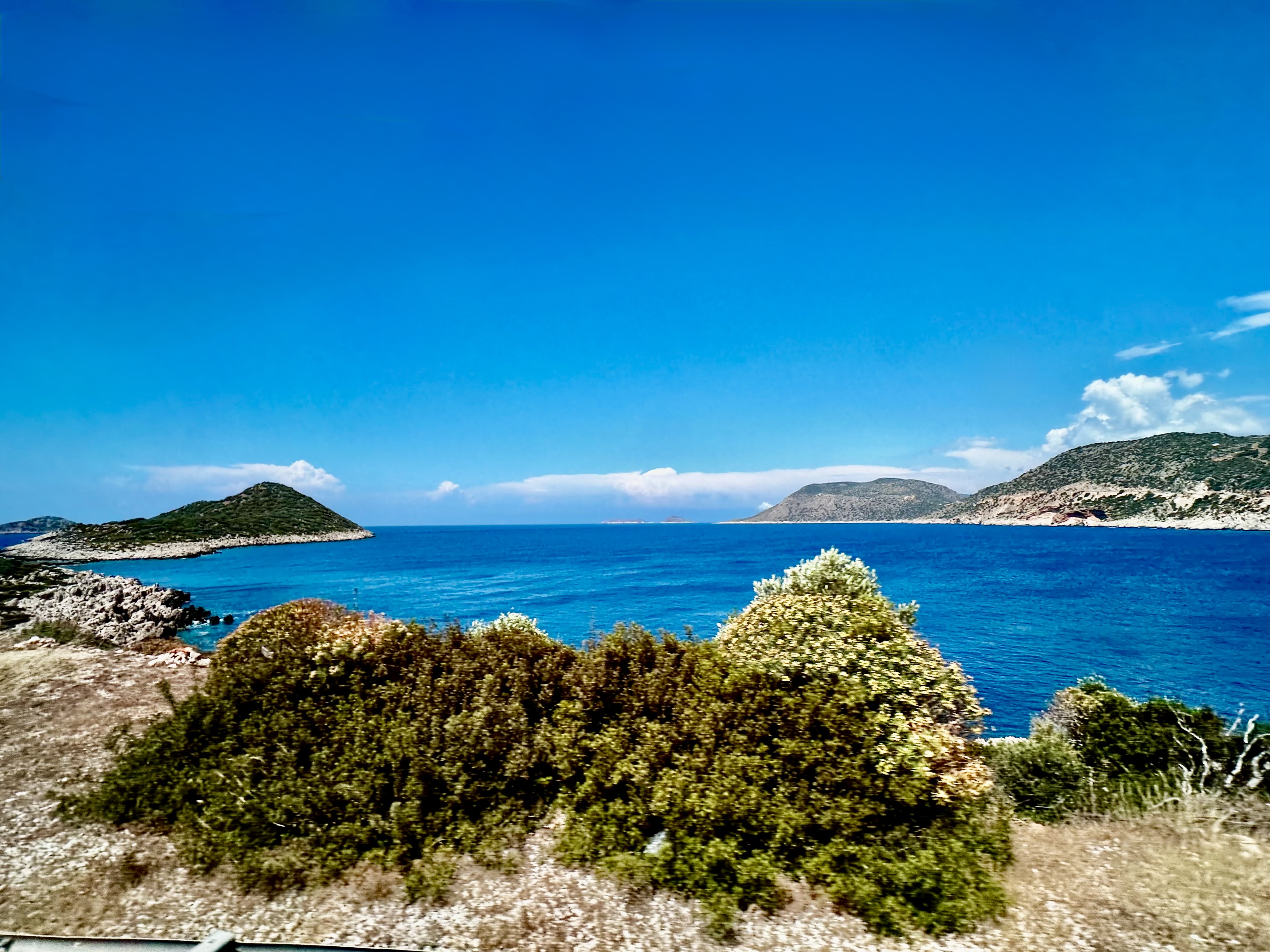
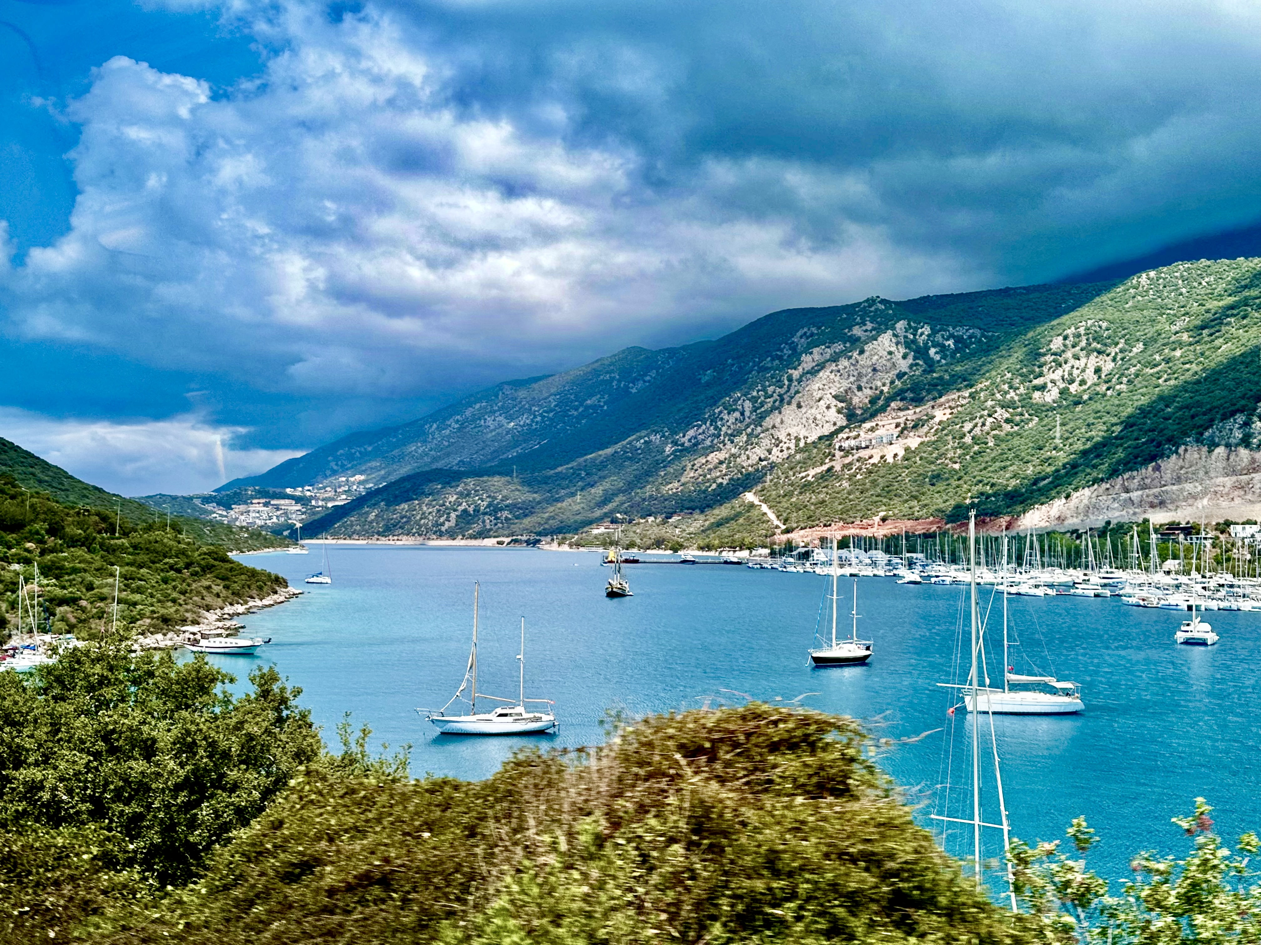
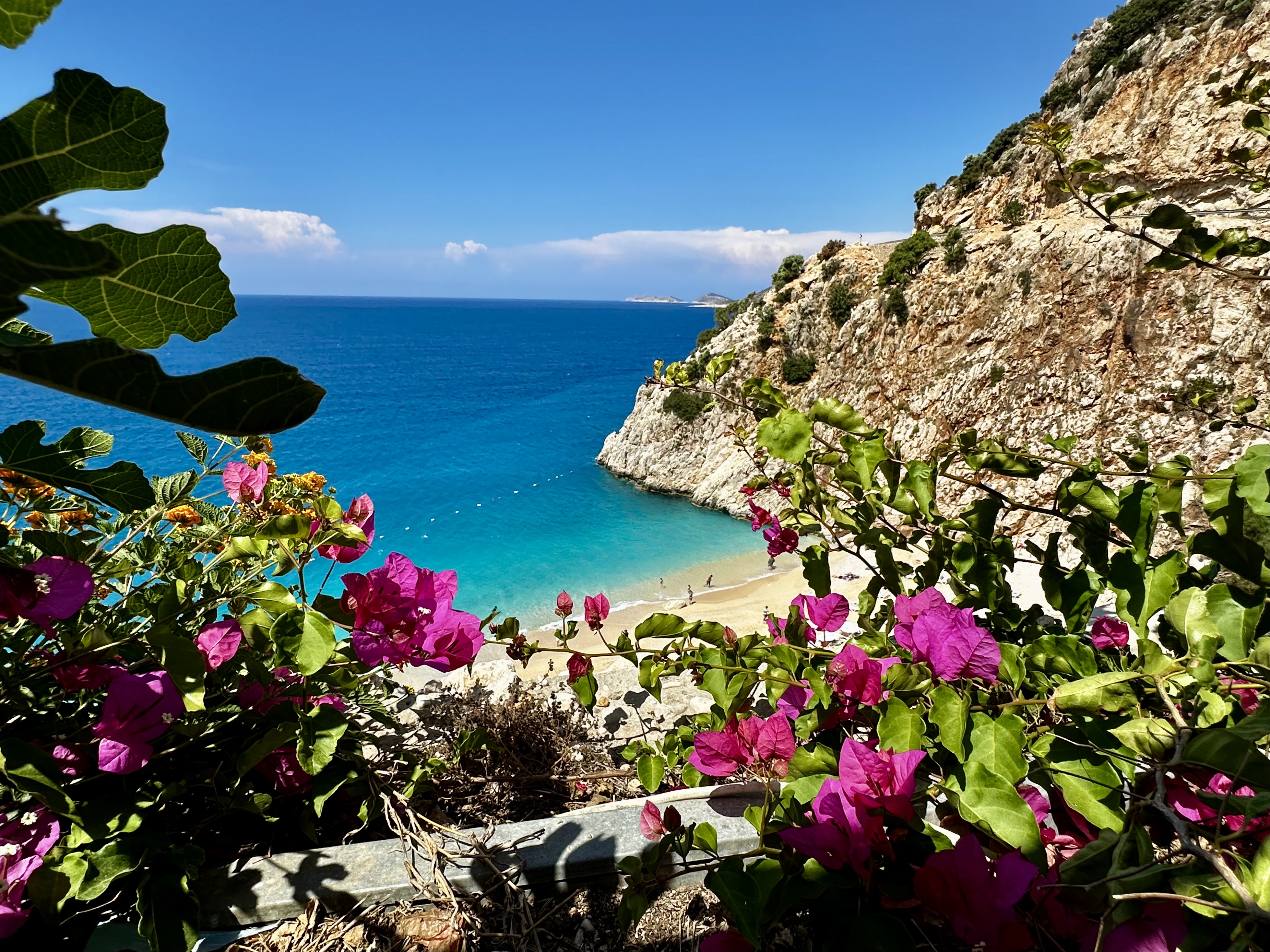
After we left the ruins at Ephesus we started to head to the junction of the Agean and Mediterranean Seas. The next few days found us on the Mediterranean Coast. The water is so blue and the sky is so blue and all the limestone formations made the colors more vivid.

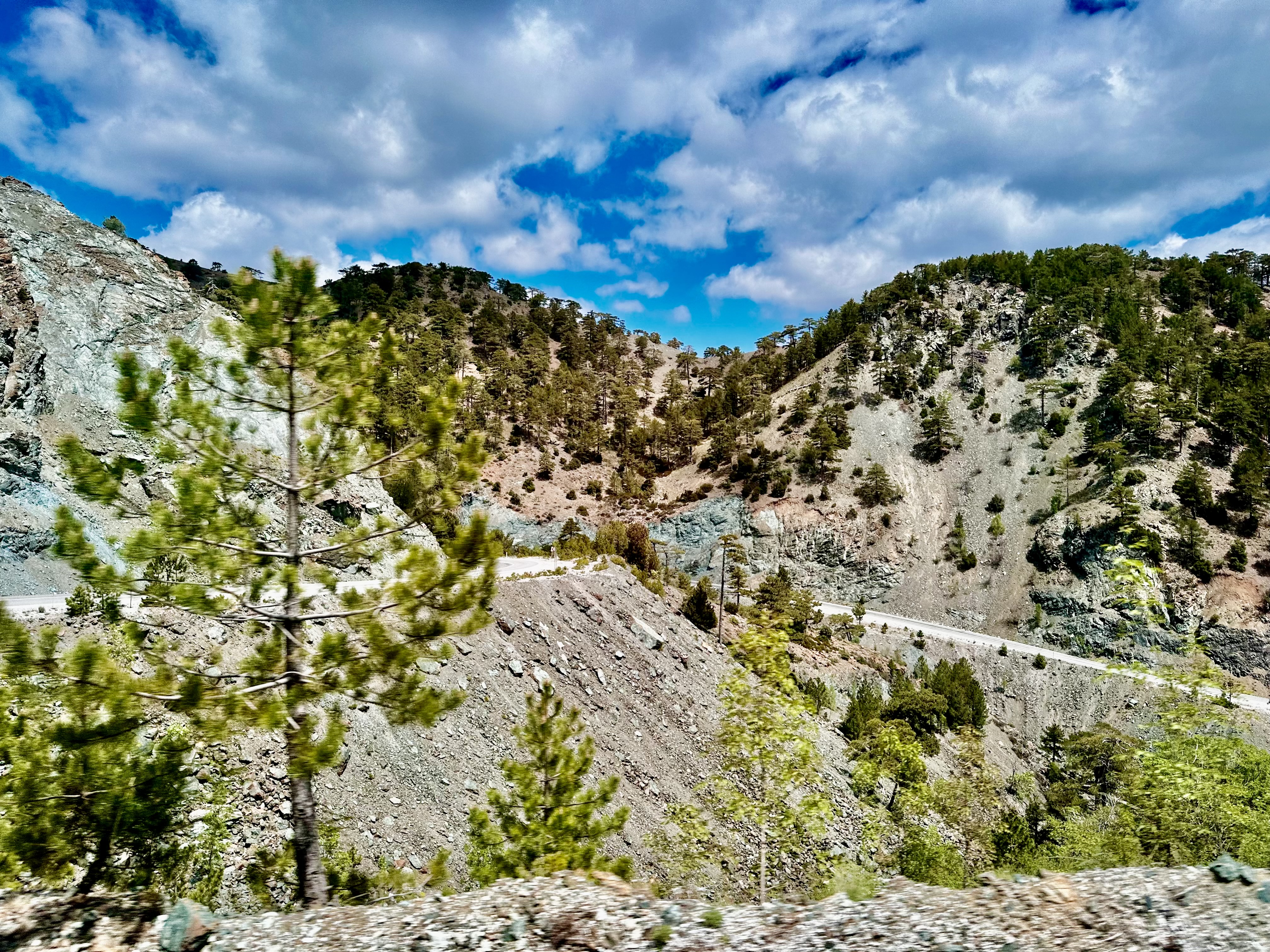
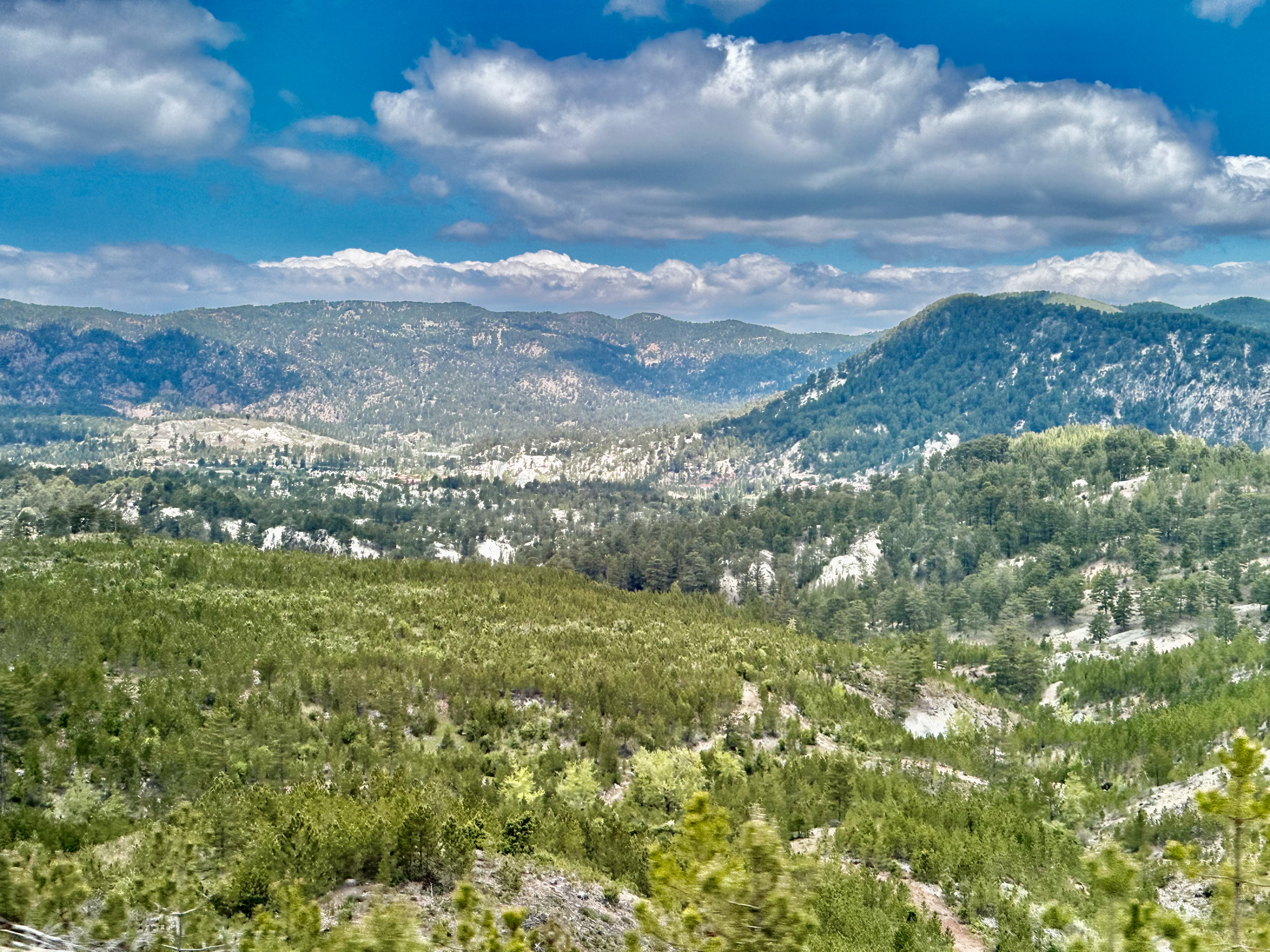
Riding across the Taurus Mountains to arrive at the Sea.

The Mediterranean Sea

We stayed in the town of Kas for two nights.

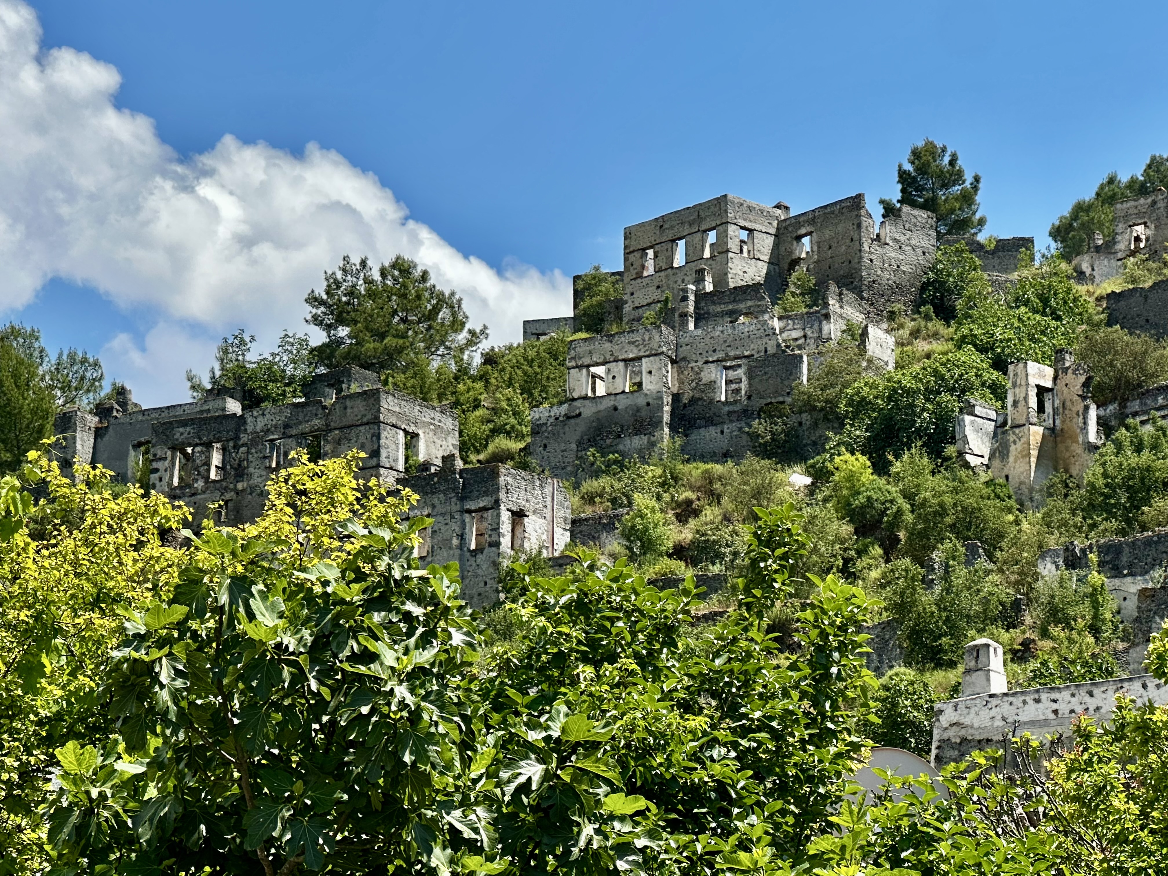
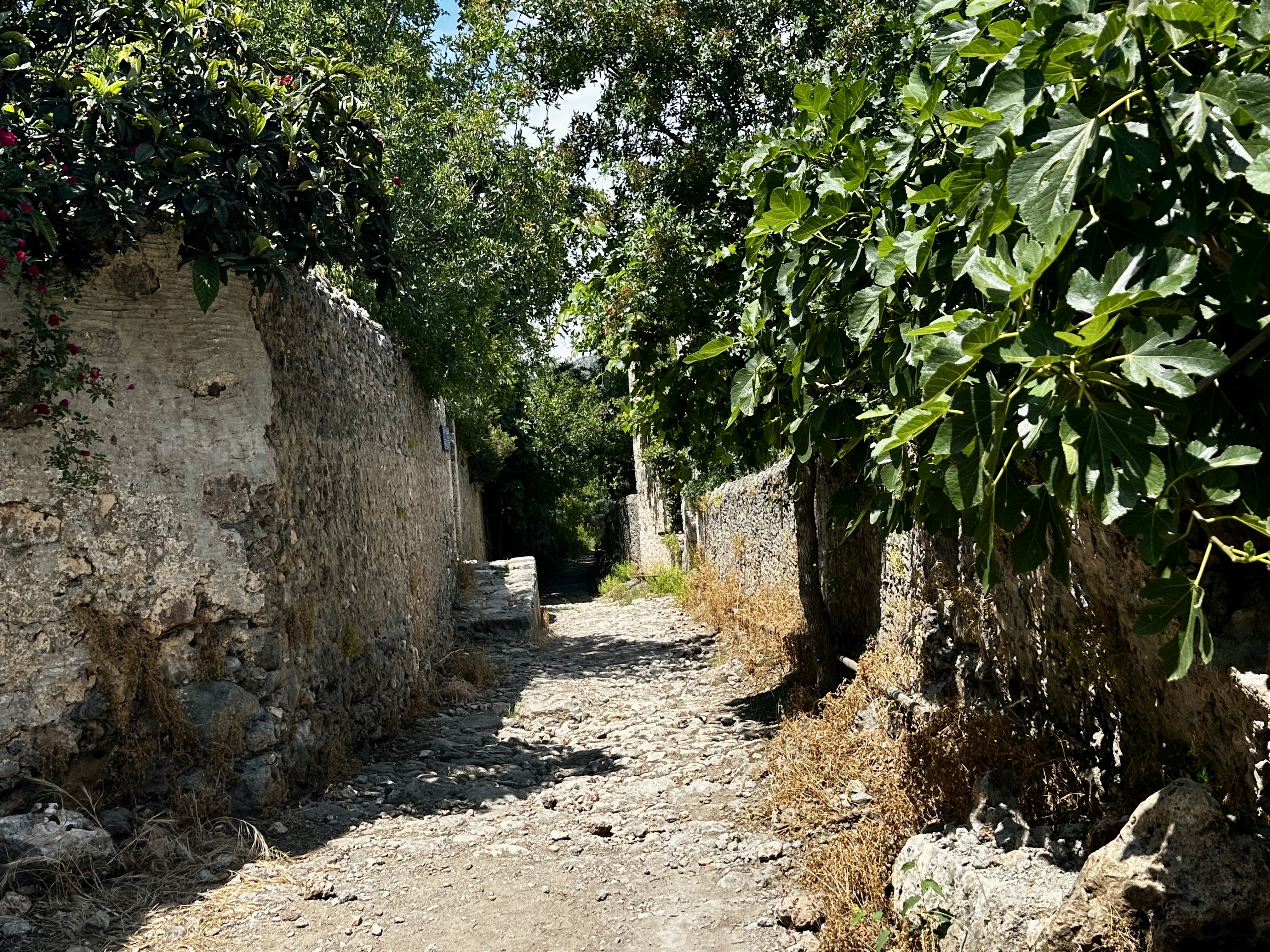
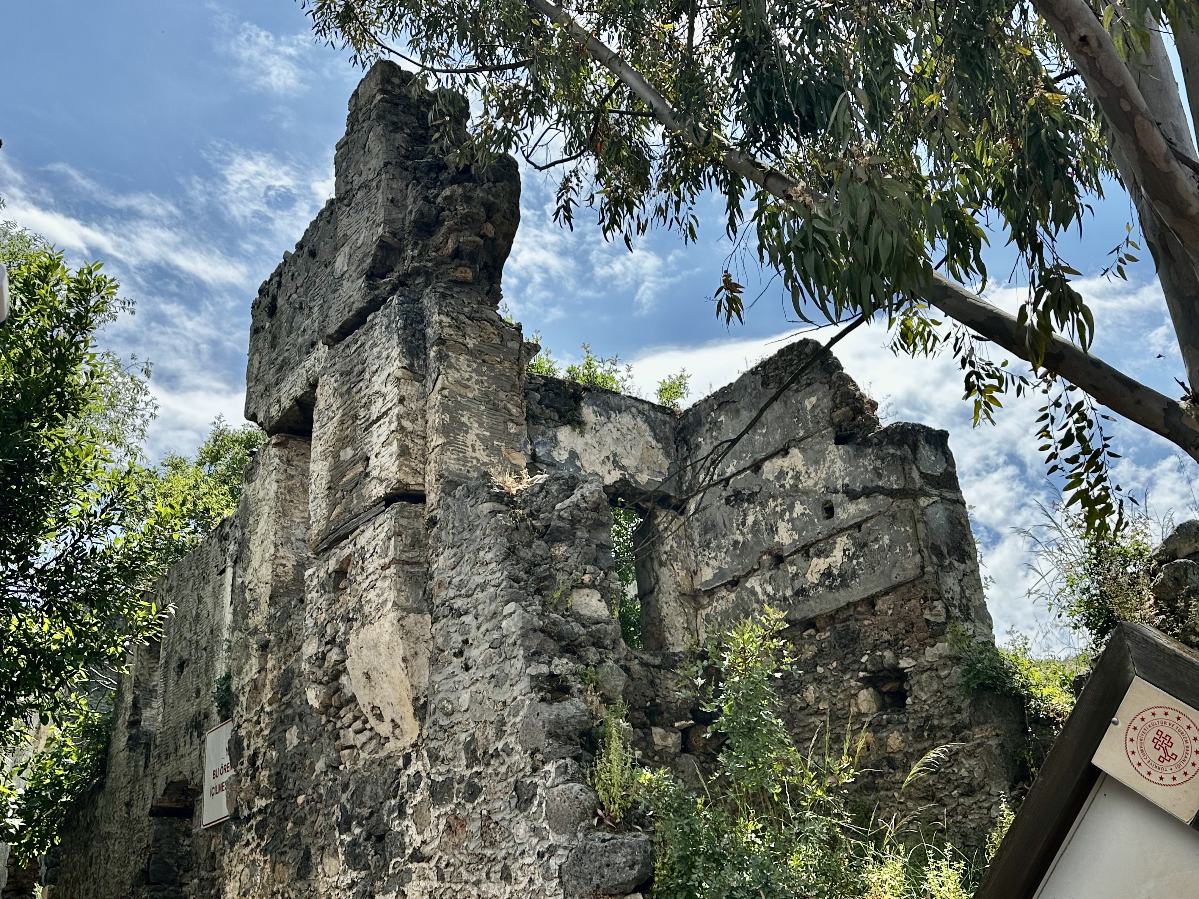
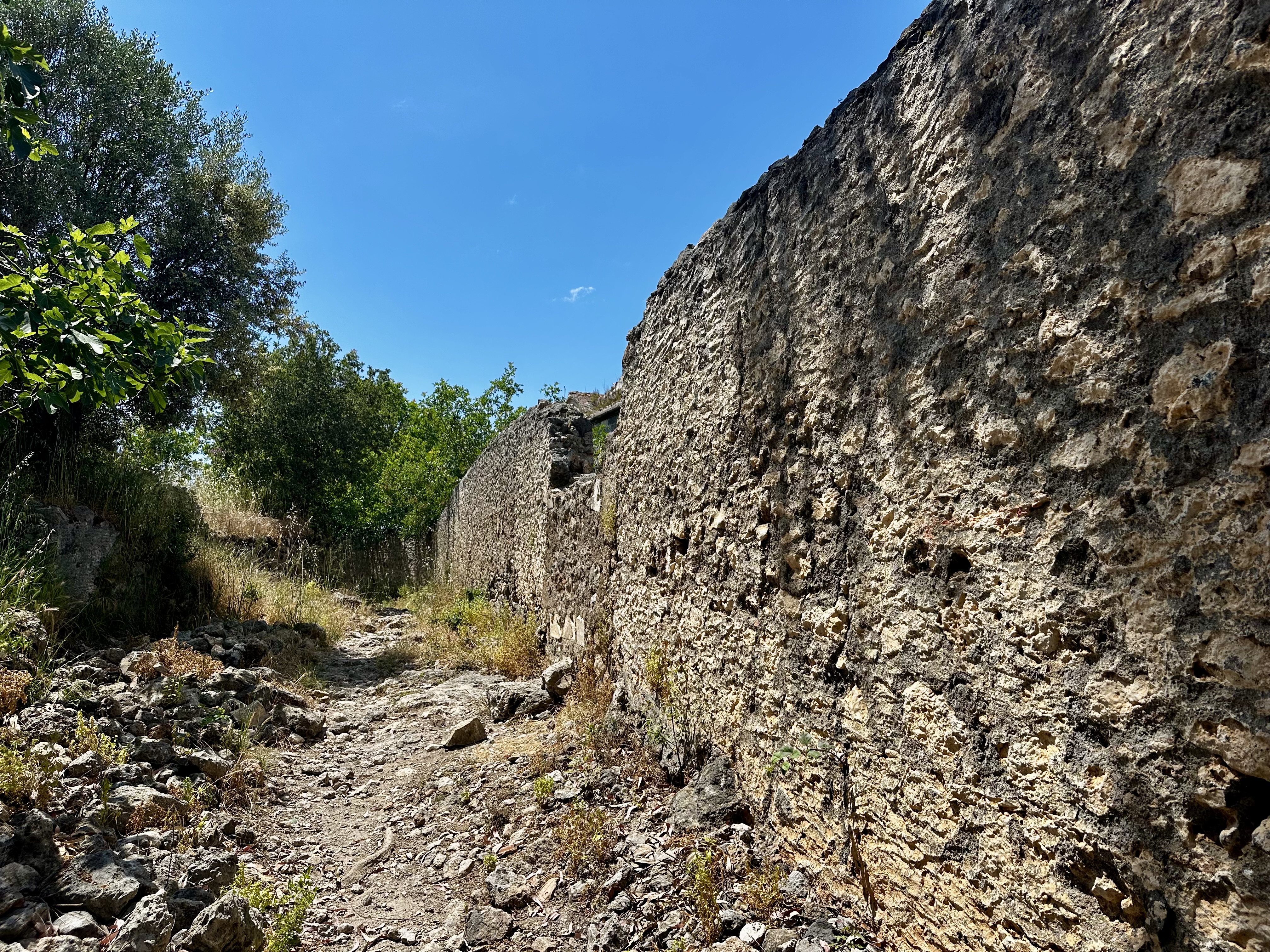
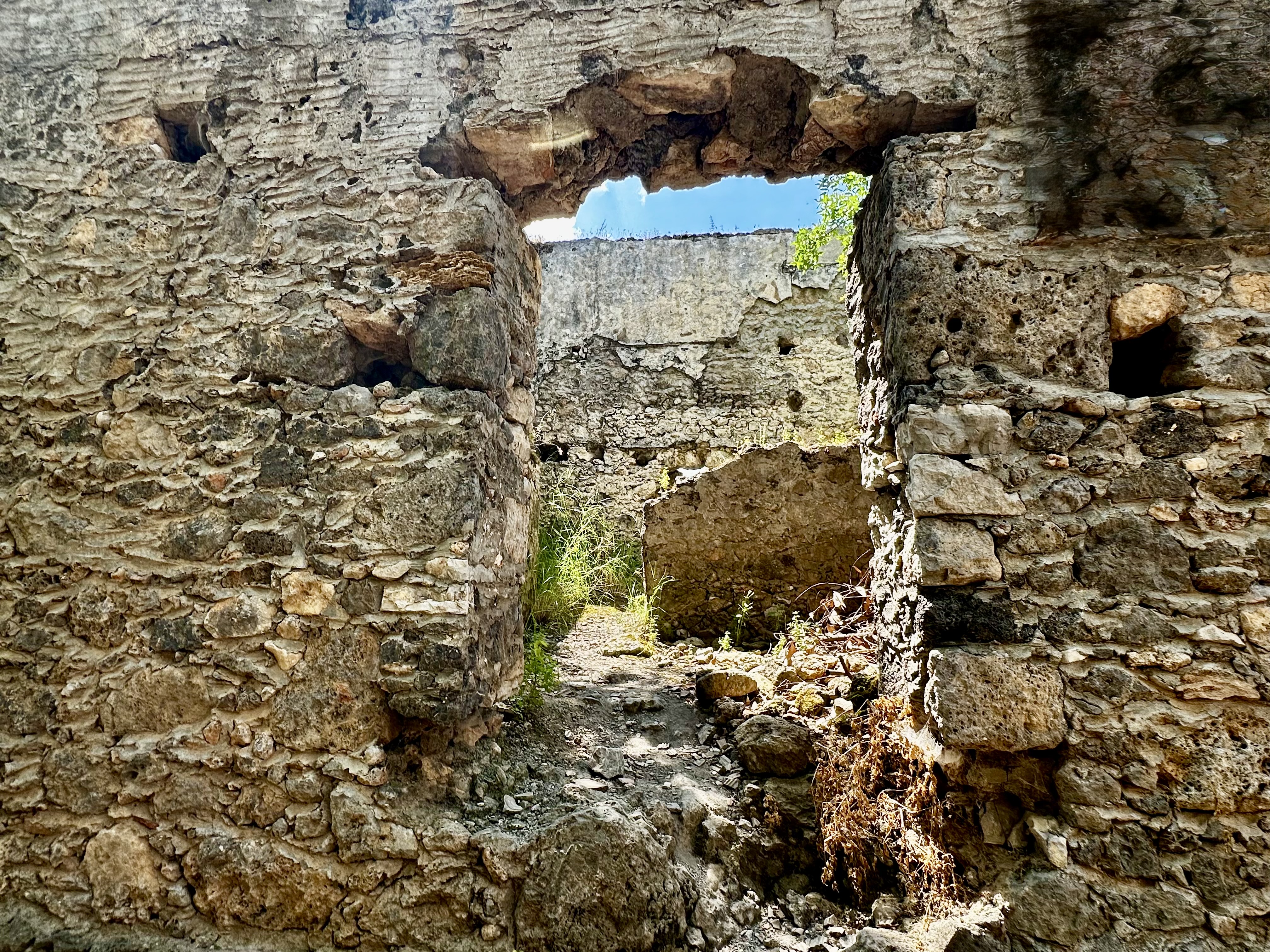
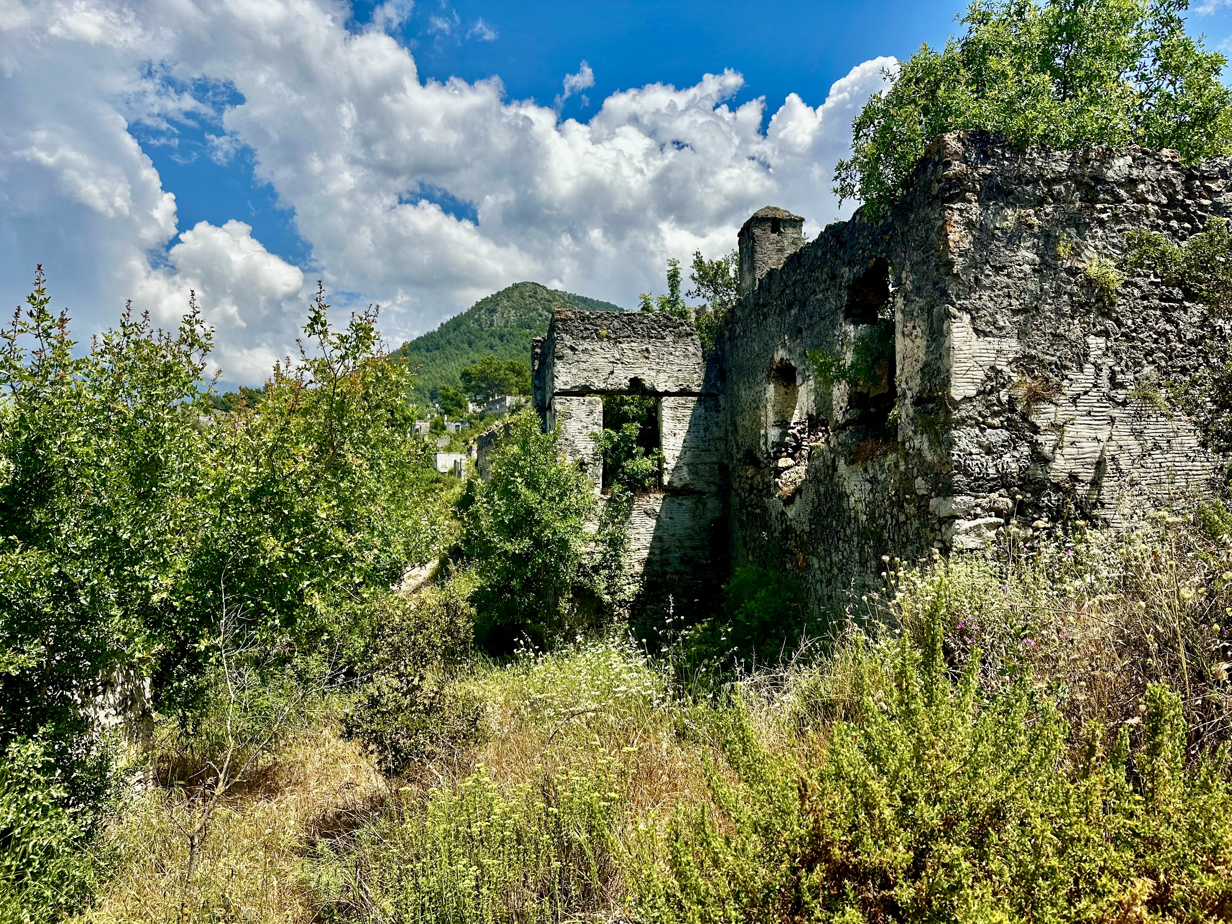
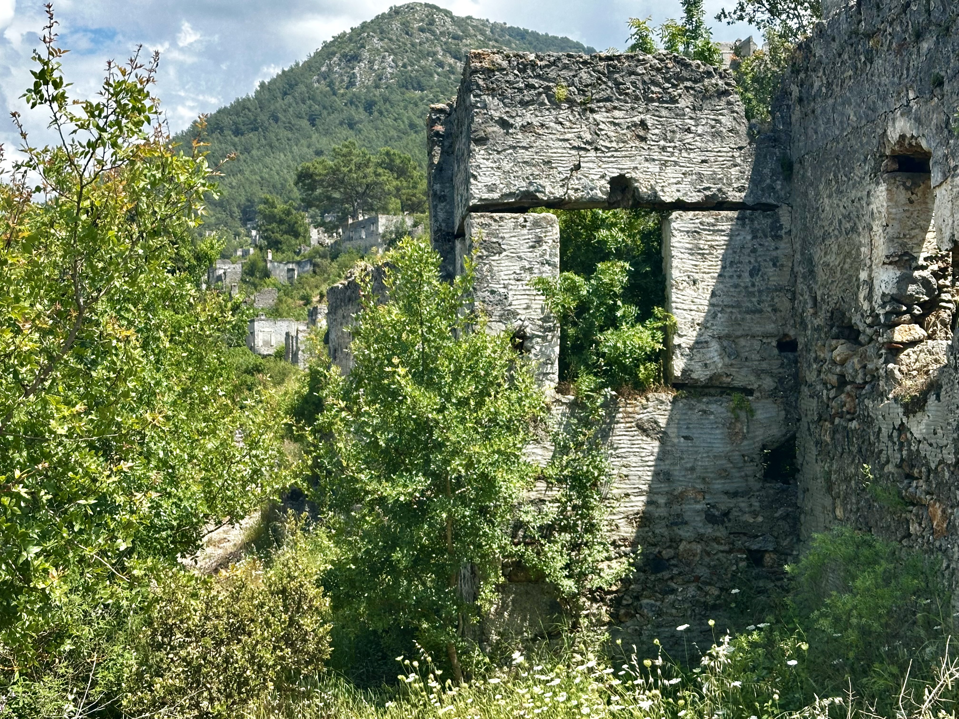
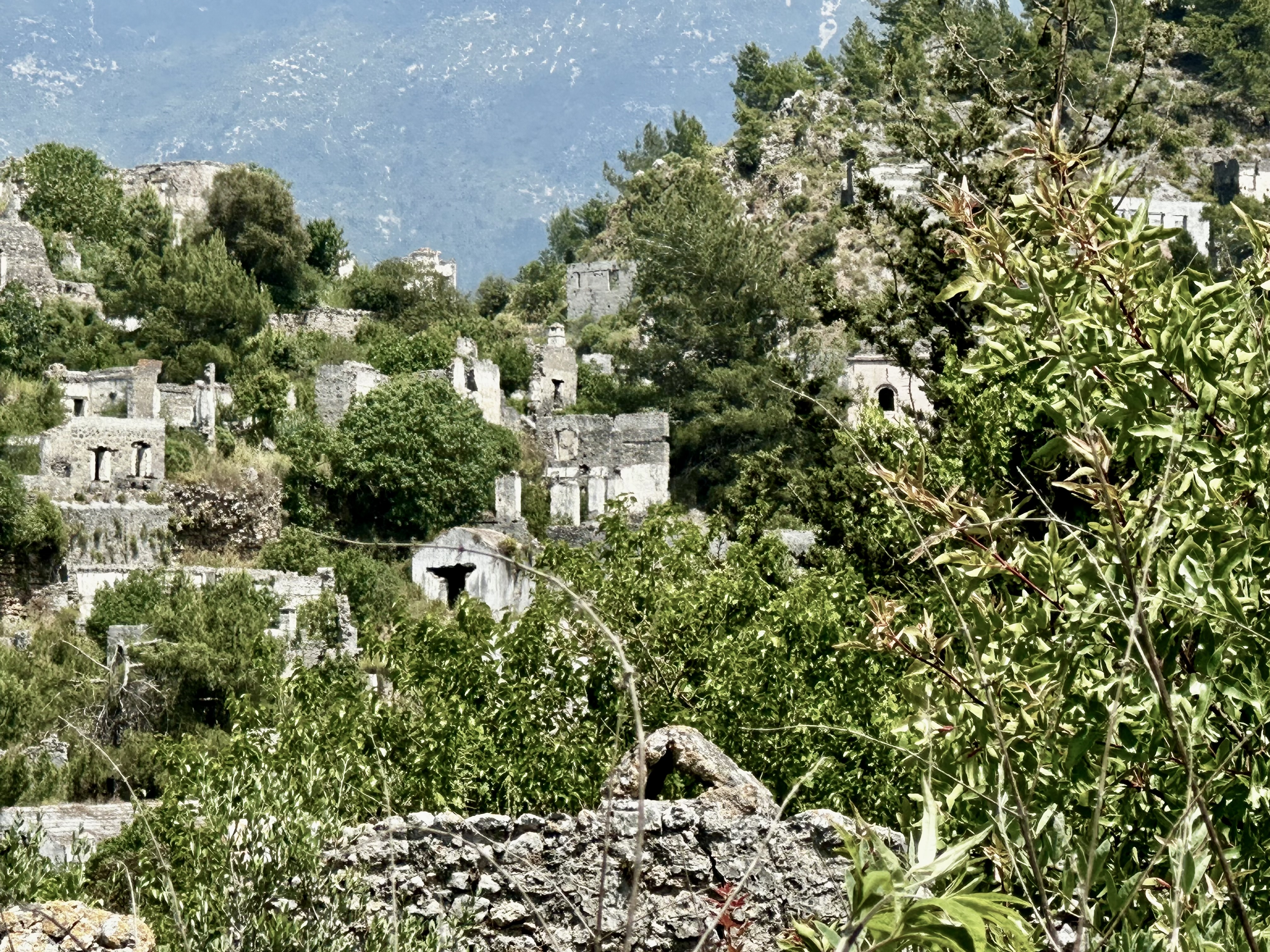
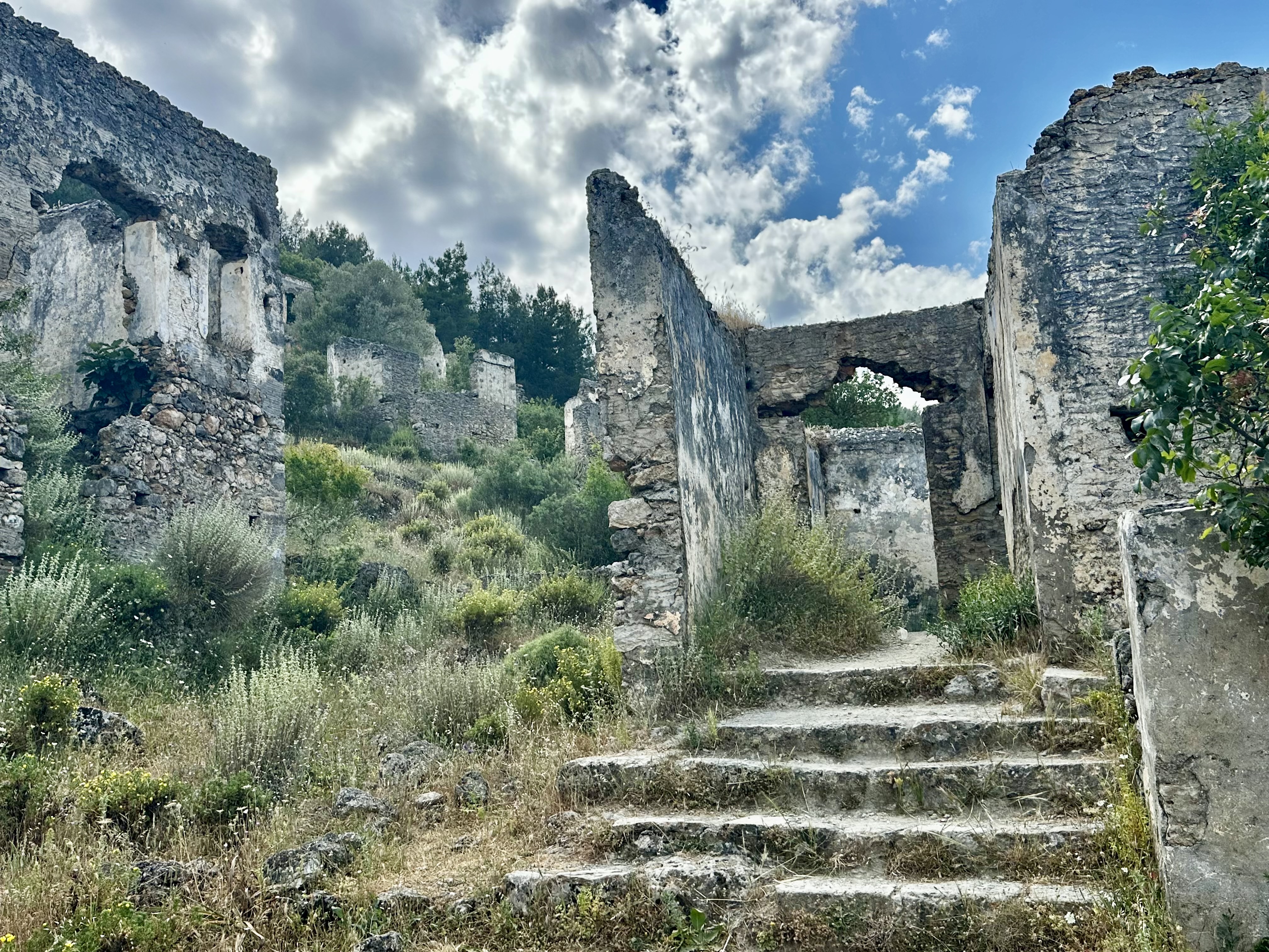
One afternoon we went to a “ghost town” The Ghost Town Kayakoy village in Turkey stretches along the hillside. In the XVIII century Greeks arrived here from Dodecanese Islands and founded a town here , it’s name was Levissi. In this quite a large town with about 3.500 homes the Greeks lived for centuries. In 1923 when the city had about 6,000 Greeks the “population exchange” was started between Greece and Turkey the Greeks were forced to leave the town. Kaykoy Ghost Town in Turkey was recognized as one of the World TOP 10 Ghost Towns according to National Geographic – a world leader in geography, cartography and exploration.

Following the Kayakoy history after the departure of the Greeks the Levissi city was renamed in a Kayakoy by name of a nearby valley – Kaya Cukuru (pothole from Turkish) and vacant houses were populated with Muslims that came from Macedonia. However the Macedonians did not like Kayakoy Turkey and they left the village – Kayakoy village became the largest abandoned Greek village of Asia Minor and it is called Kayakoy Ghost Town or Kayakoy Village.

Now Kayakoy Ghost Town in Turkey is open-air museum with about 500 preserved houses and three churches

Kayykoy

Upon Arrival in Kas we had a chance to see a small Hellenistic theater. Antiphellos was a small settlement and the port for Phellos, the much larger Lycian town further north in the hills. The small Hellenistic theatre, 500m west of KaĹź’ main square, could seat 4000 spectators and is in good condition. It was built in the 1st century BC and restored 300 years later, probably after the great 141 AD earthquake. There’s a good view of KaĹź from the top tier of seating.
Finally we had a full day on the water. After a beautiful drive through the mountains we arrived at a small village on the Mediterranean Sea. We boarded a boat and went to explore more ruins and go swimming in the most beautiufl blue water I ahve yet to see.

This area also had the ruins of a city that sunk into the sea after several earthquakes.

Located along Turkey’s stunning Mediterranean coast, the Sunken City of Kekova offers a unique glimpse into the past, where history and nature beautifully intertwine. Originally built on Kekova Island, this ancient city was a thriving harbor town before it met a tragic fate. Earthquakes and invasions led to the submersion of much of the city, leaving behind a fascinating underwater site.
Dolchiste: A Glimpse into the Past
Once a modestly bustling harbor town, Dolchiste was home to shipbuilders, merchants, and fish sauce producers. In the 2nd century, a massive earthquake struck, submerging much of the town into the sea. Though the city was rebuilt, it was abandoned after Arab invasions. What remains today is a fascinating blend of submerged and terrestrial ruins, collectively known as the Sunken City of Kekova.
The Sunken City Today

The day ended with a climb to a castle, where the view was stunning. There were tombs and sarcophagi scattered among the hills

Simena Castle, also known by its Turkish name ‘Kalekoy’ meaning ‘castle village’, is located on Turkey’s stunning Mediterranean coast in the Kekova Region between the modern town of Kasand Antalya, the province’s capital city. Once a notable Lycian settlement, the castle remains largely intact upon a hill overlooking the Gokkaya bay. Villagers have made their homes on one side of the ancient site and a handful of local restaurants can be found next to a small harbour, offering the daily seafood catches. It’s an interesting mix of old and new as locals have managed to build their modern lives while still maintaining the rich historical sites. To the west a series of rock-cut tombs are scattered across the slopes of the castle, you can walk down from Simena Castle and take a look inside.

Today I am leaving the coast and we are driving into another area of Turkey, Cappadocia.

I will see you all soon. Next post coming up. Wait for it.

A final pic of the day.

Travelog Continues: A Journey Through Turkey: From Gallipoli to Pamukkale

Two days ago we left Istanbul and began to travel.

First stop was Gallipoli

A peninsula on the European shores of the Dardanelles, the narrow strait that connects to the Bosporus in Istanbul, Turkey. Gallipoli became the site of one of the early battles that turned into the kind of carnage that WW1 later became known for. For the British and their Commonwealth allies, it was a heavy loss, for the Turks a significant victory, albeit a particularly costly one.

The Gallipoli campaign is especially legendary with Australians and New Zealanders who played a major role and suffered bitter casualties (esp. in relation to their total numbers). In modern Turkey’s history, Gallipoli is also important because of the decisive role AtatĂĽrk played in it.

Gallipoli

This was an extremely moving memorial. I could have spent days here. There was so much to see here.

But….on a group tour one must move on.

Taking the ferry across the Dardanelles Strait

Troy was repeatedly destroyed and rebuilt during its 4000 years of settlement. As a result, nine archaeological layers have been identified at the site, each corresponding to a city built on the ruins of the previous. Archaeologists refer to these layers using Roman numerals, Troy I being the earliest and Troy IX being the latest. 

Troy was first settled around 3600 BC and grew into a small fortified city around 3000 BC (Troy I). Among the early layers, Troy II is notable for its wealth and imposing architecture. During the Late Bronze Age, Troy was called Wilusa and was a vassal of the Hittite Empire. The final layers (Troy VIII–IX) were Greek and Roman cities which served as tourist attractions and religious centers because of their link to mythic tradition.

The site was excavated by Heinrich Schliermann and Frank Calvert  starting in 1871. Under the ruins of the classical city, they found the remains of numerous earlier settlements. Several of these layers resemble literary depictions of Troy, leading some scholars to conclude that there is a kernel of truth underlying the legends. Subsequent excavations by others have added to the modern understanding of the site, though the exact relationship between myth and reality remains unclear and there is no definitive evidence for a Greek attack on the city.

Troy

After leaving Troy we made our way to Pergamon. To get into these ruins, we had to take a tram. This is still one of my favorite sites on the trip so far.

This site rises high above the Bakirçay Plain in Turkey’s Aegean region. The Acropolis of Pergamon was the capital of the Hellenistic Attalid dynasty, a major centre of learning in the ancient world. Monumental temples, theatres, stoa or porticoes, gymnasium, altar, and library were set into the sloping terrain surrounded by an extensive city wall. The rock-cut Kybele Sanctuary lies to the north-west on another hill, visually linked to the acropolis. Later, the city became the capital of the Roman province of Asia, known for its Asclepieion healing centre. The acropolis crowns a landscape containing burial mounds and remains of the Roman, Byzantine, and Ottoman empires in and around the modern town of Bergama on the lower slopes.

Pergamon

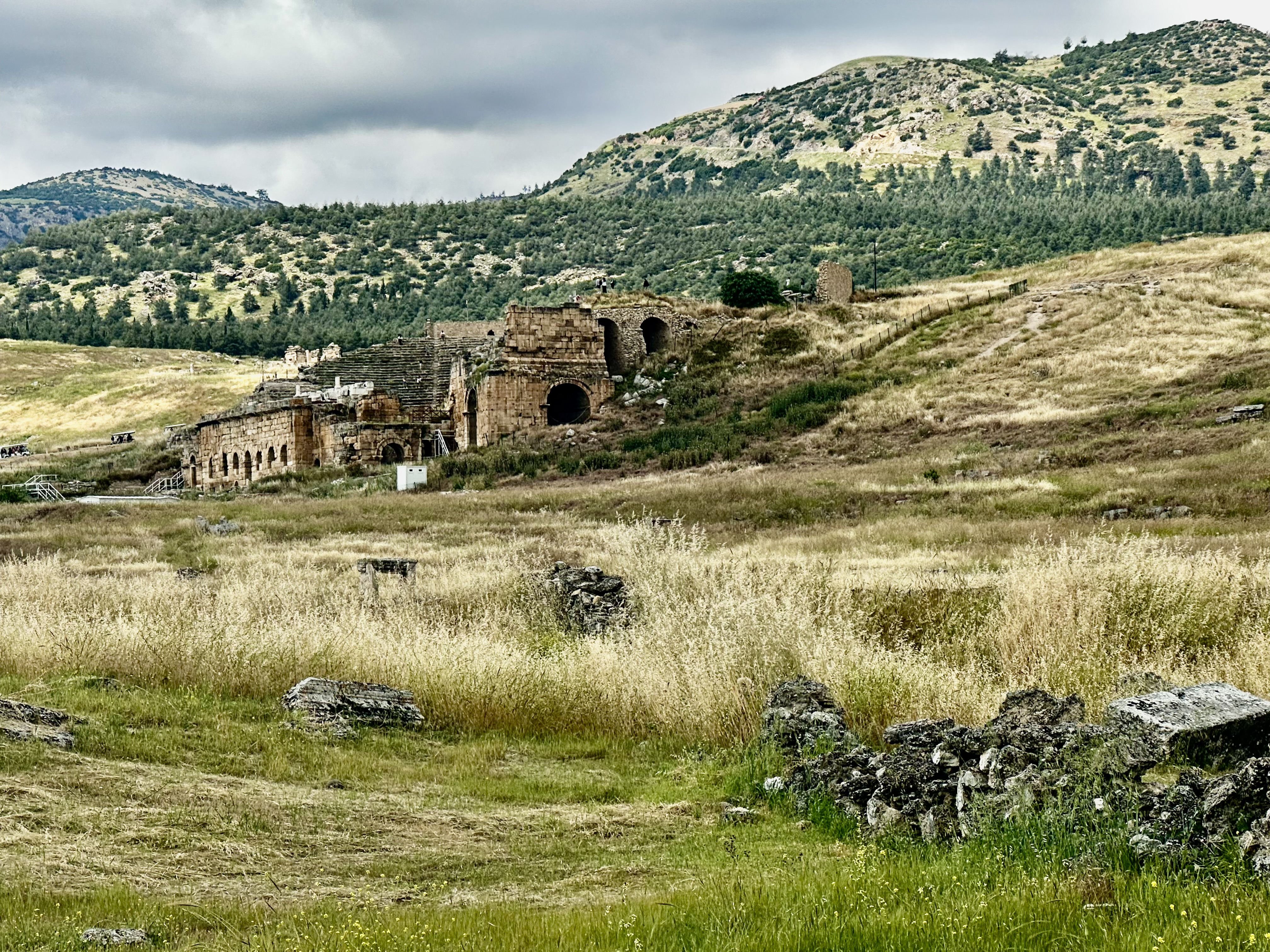
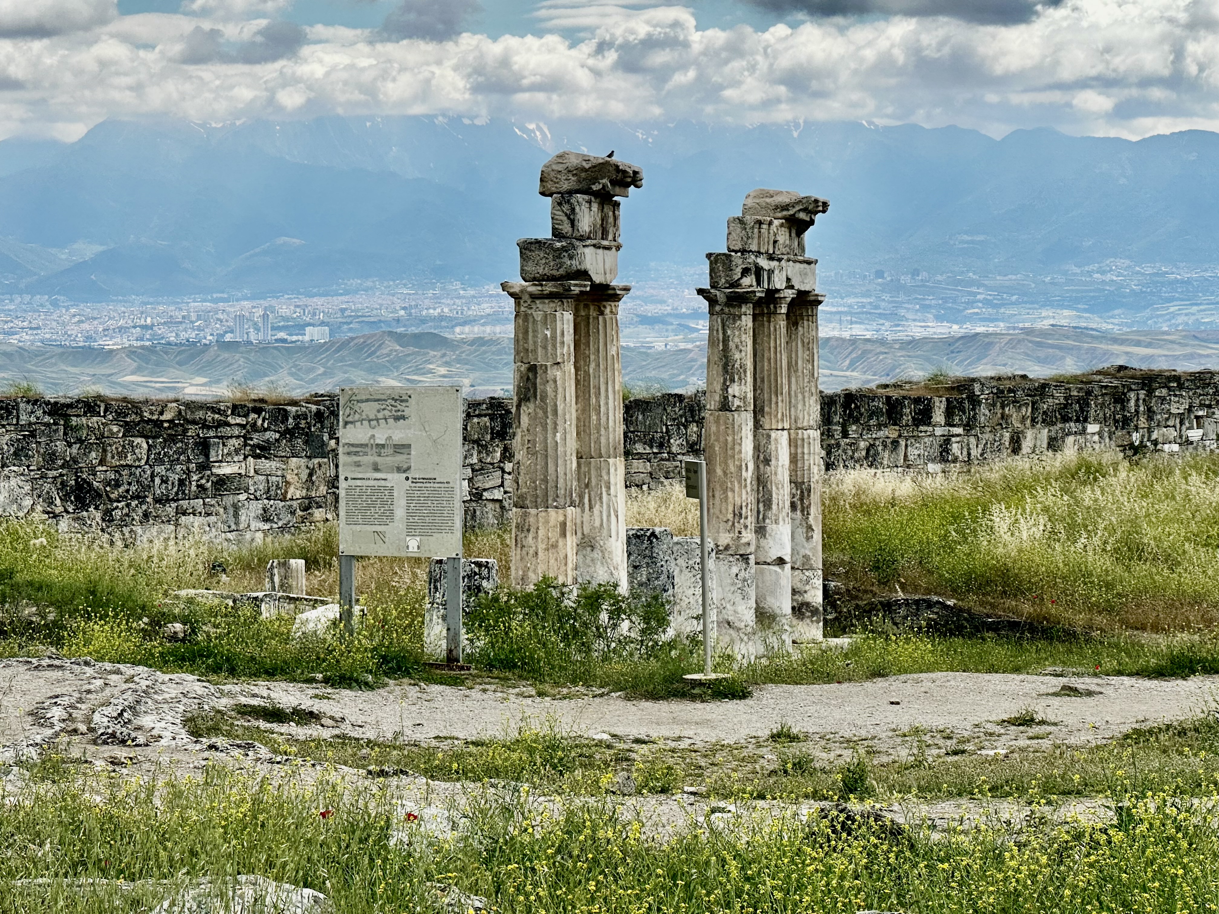
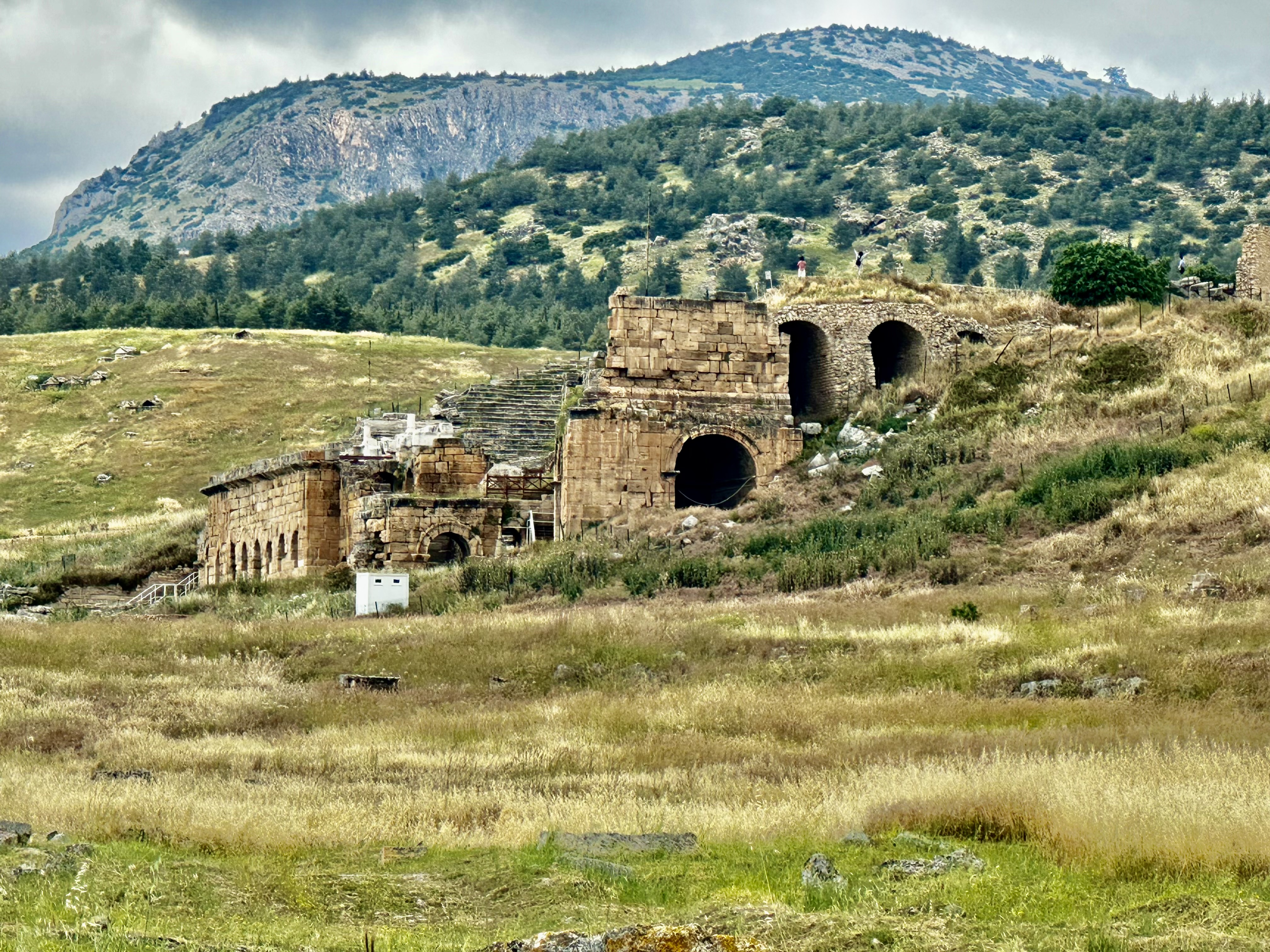
Yesterday, Wednesday, we spent the day exploring another UNESCO site.

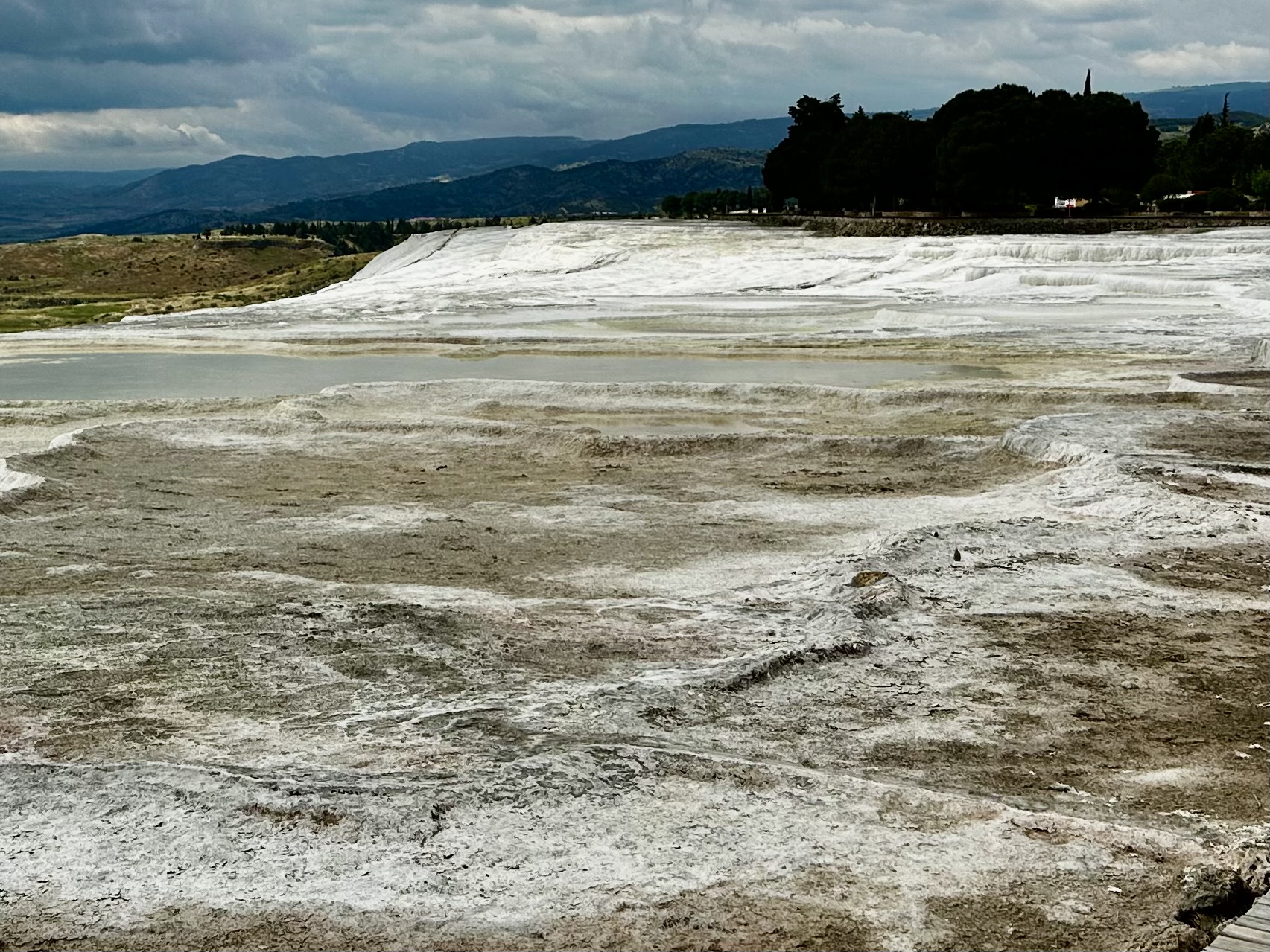
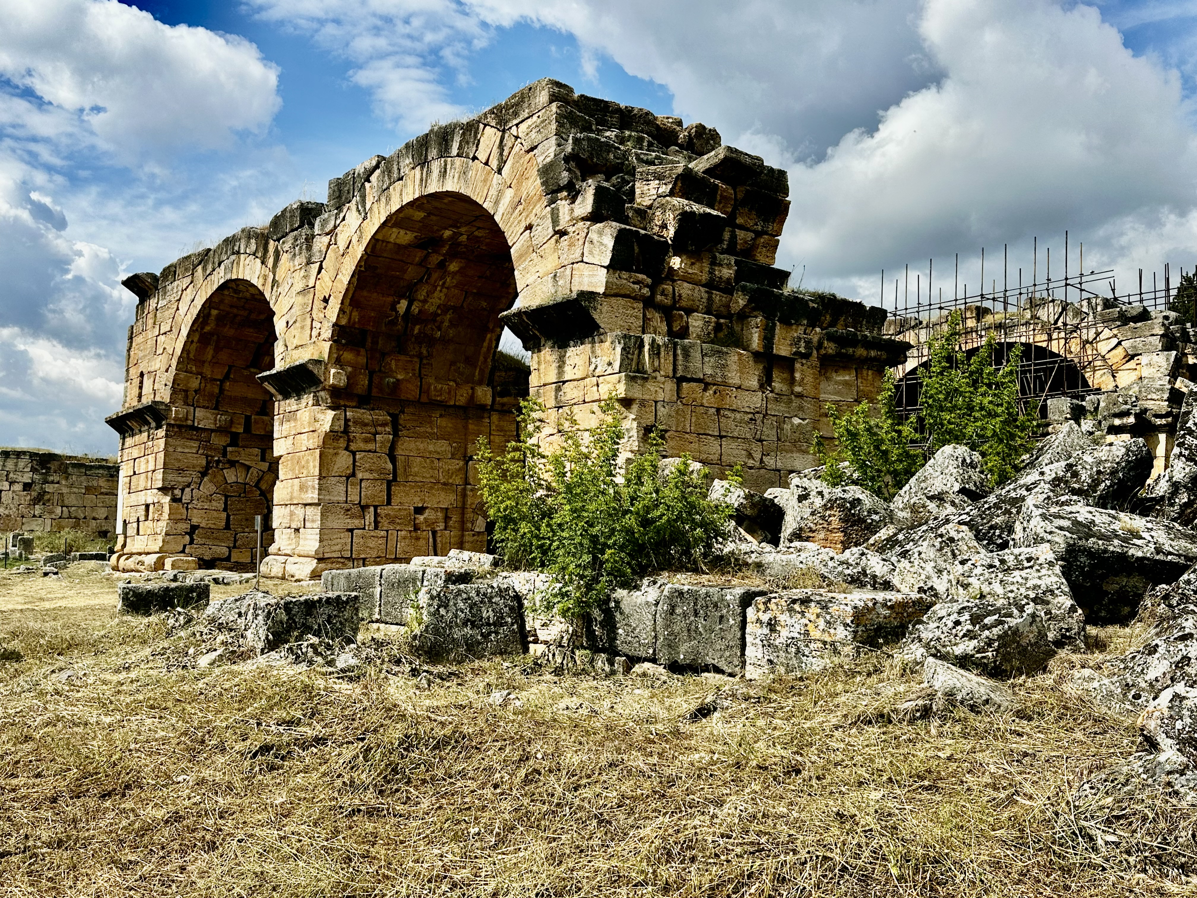
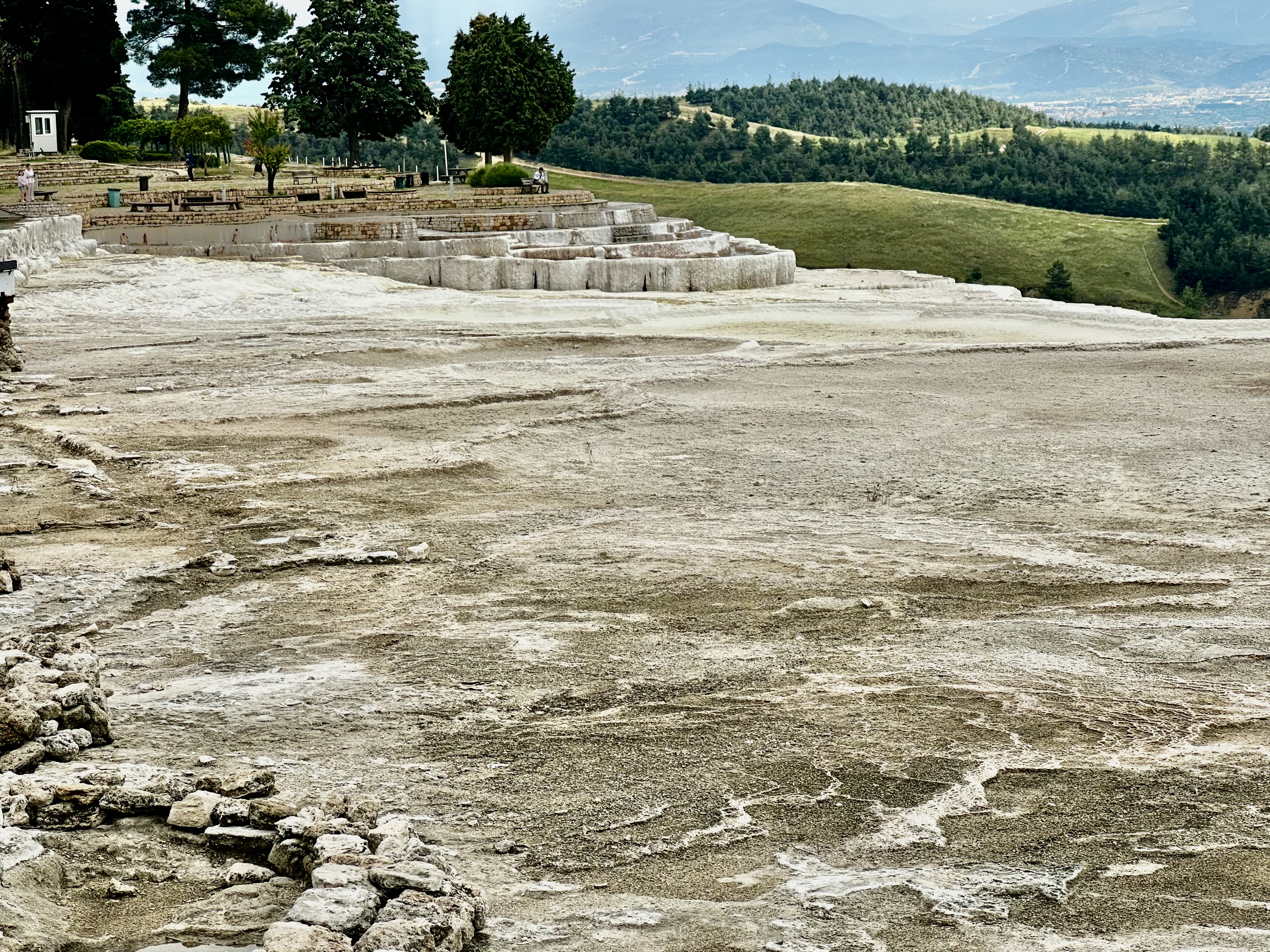
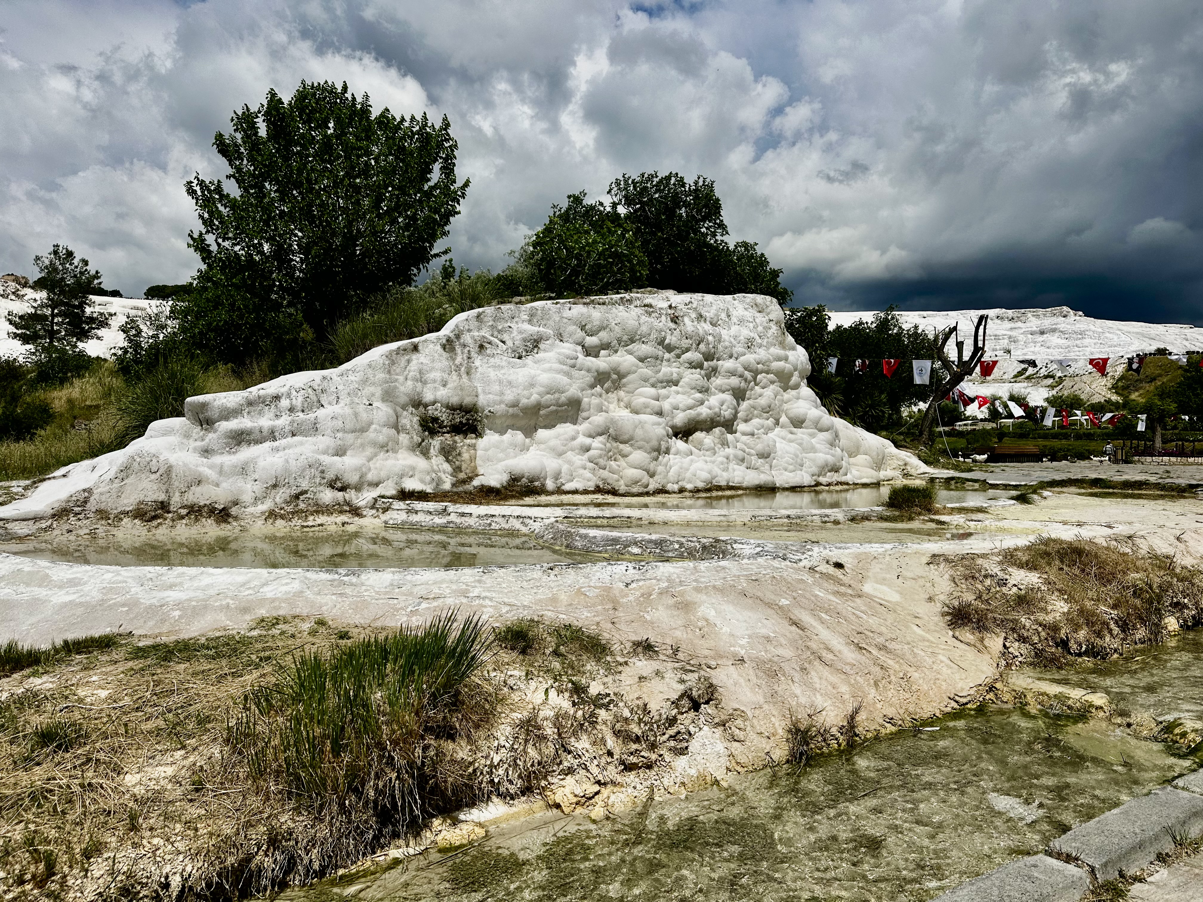
The world-famous travertine pools in Turkey are located in Pamukkale (meaning Cotton Castle) in the Denizli province. This dazzling UNESCO World Heritage site features brilliant white limestone terraces filled with mineral-rich, bright blue thermal waters.

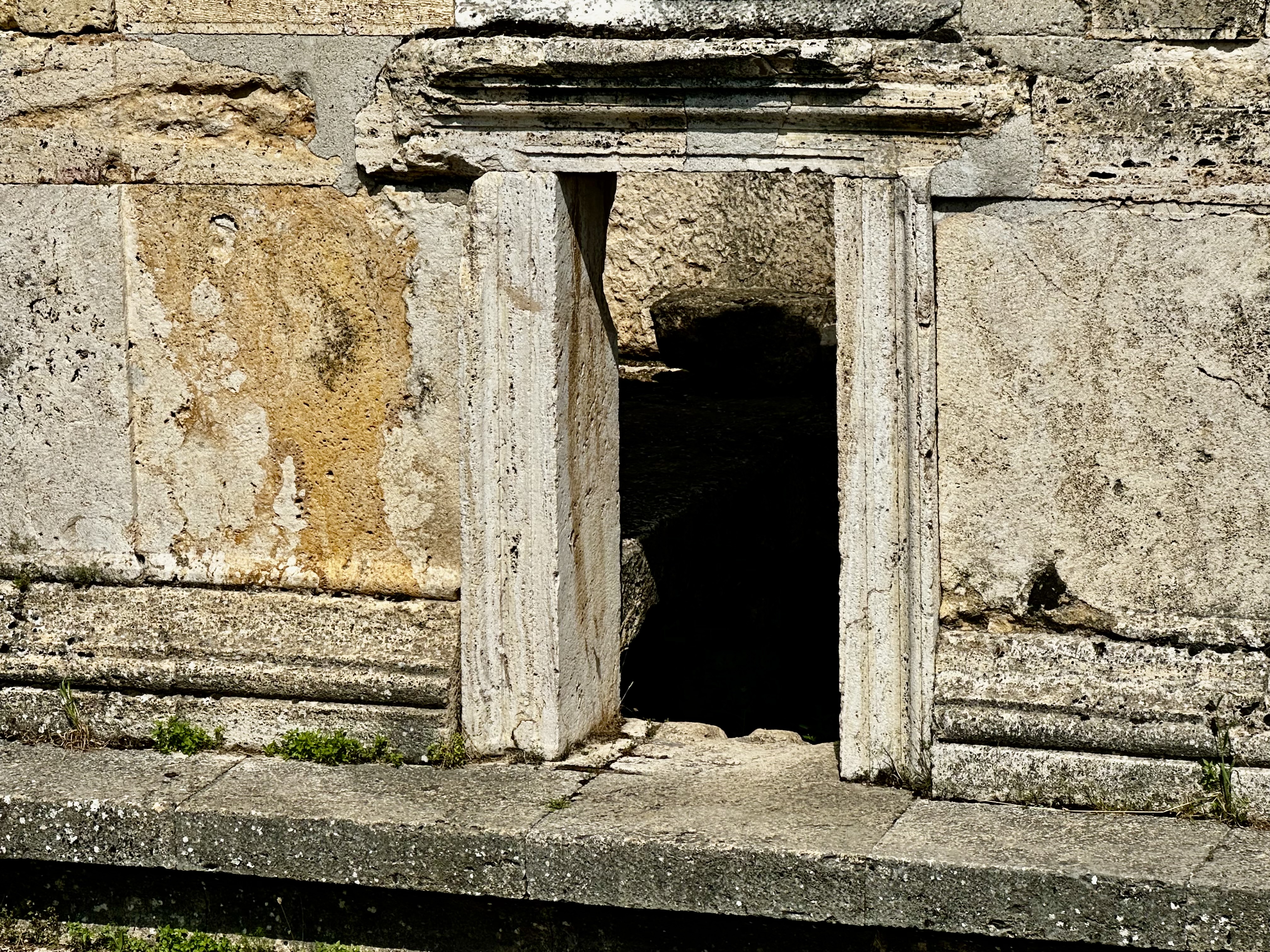
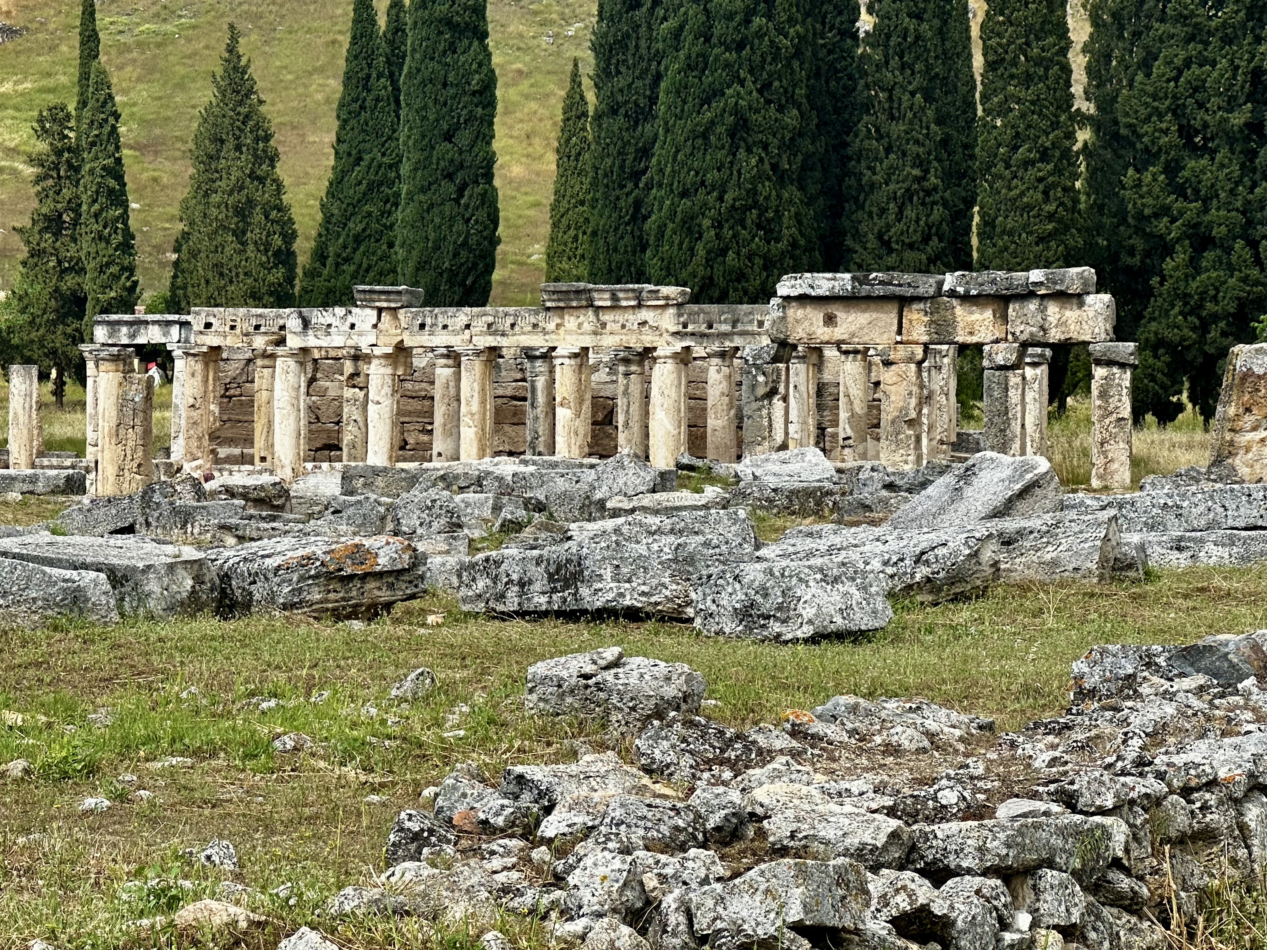
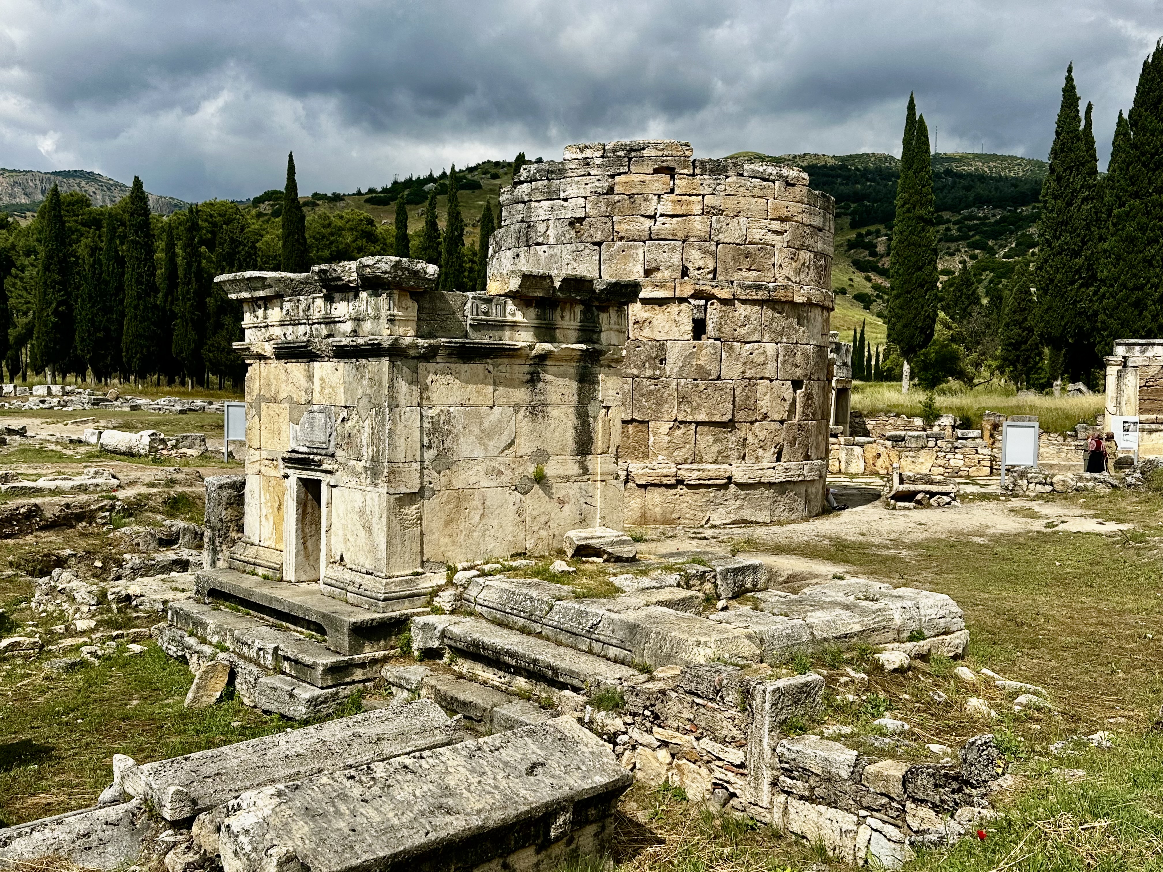
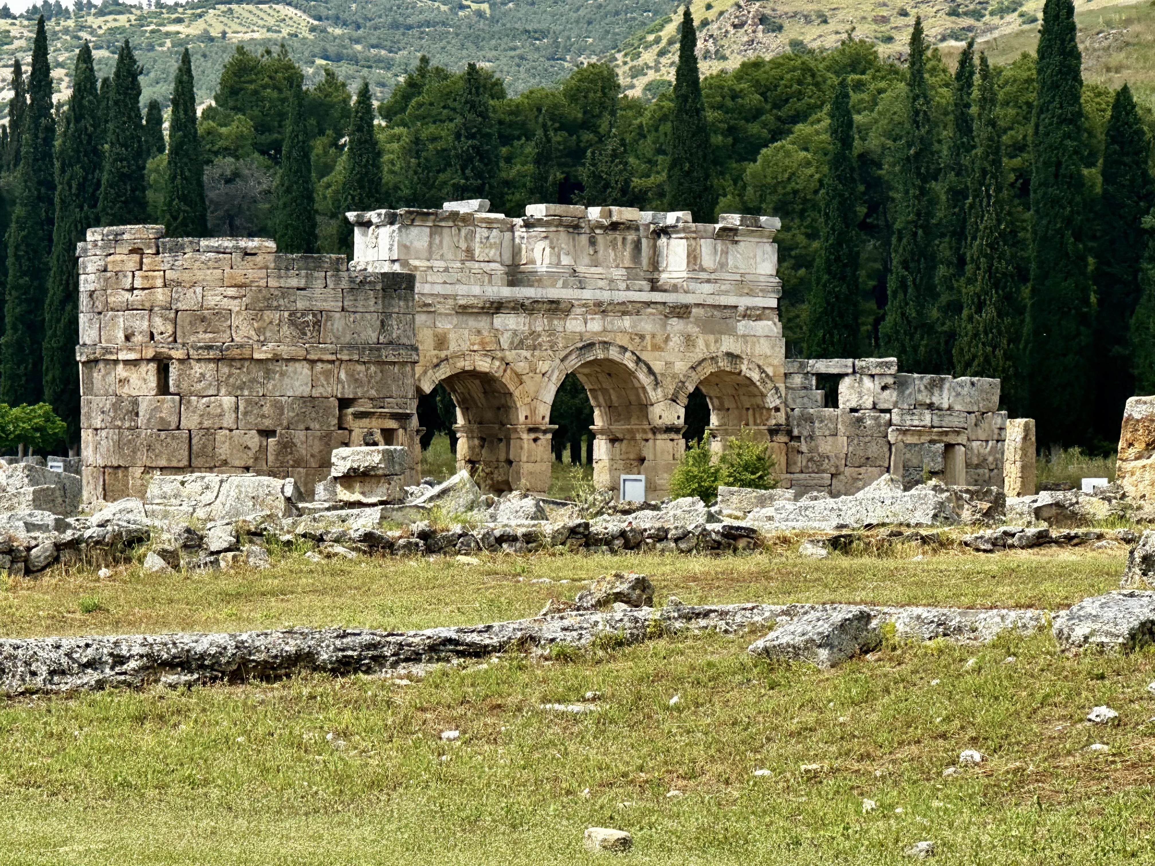
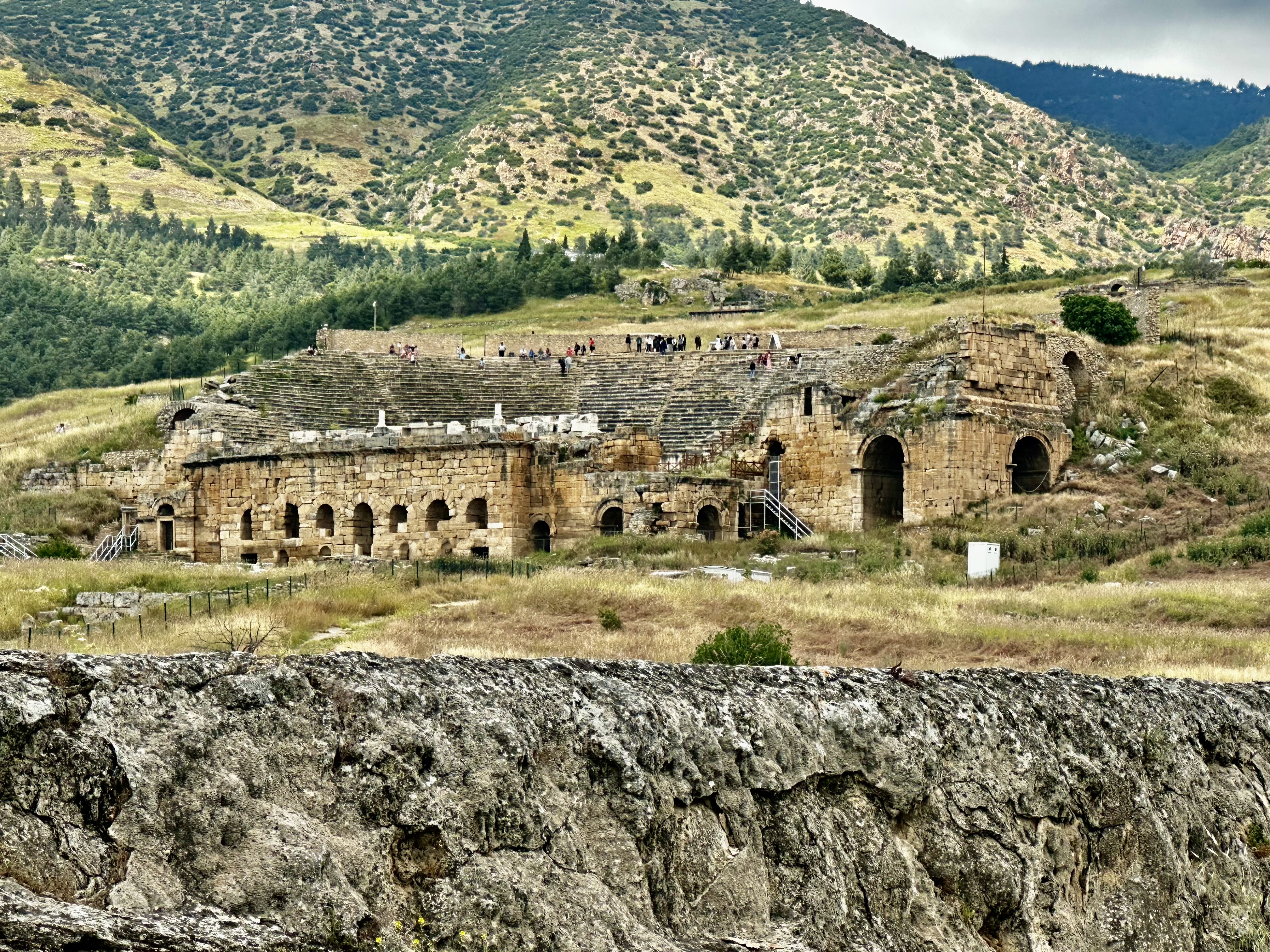
At the end of the 2nd century B.C., the dynasty of the Attalids, the kings of Pergamon, established the thermal spa of Hierapolis. The ruins of the baths, temples, and other Greek monuments can be seen at the site.

And that, my friends, is the end of this post. Whew. Remember that you can click on the individual pics and they will enlarge.

Although we are moving a lot and often, I am enjoying the journey so far. I get a bit peopled out, but there is always room to recoup before I join the group again. For someone who spends most of her time alone, I think I am doing pretty well.

The scenery is beautiful. We drove through the mountains today to return to the coast. The ride was beautiful as we traveled through the Taurus Mts. There was even snow on the peaks.

I will see you in a few days. Traveling On.